360° Mapping, France
Mapping nature in 360°
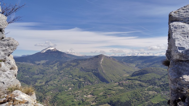
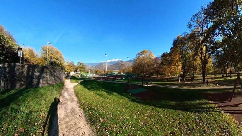
Street-View imagery of trails and natural areas for mapping, documentation and promotion across France.
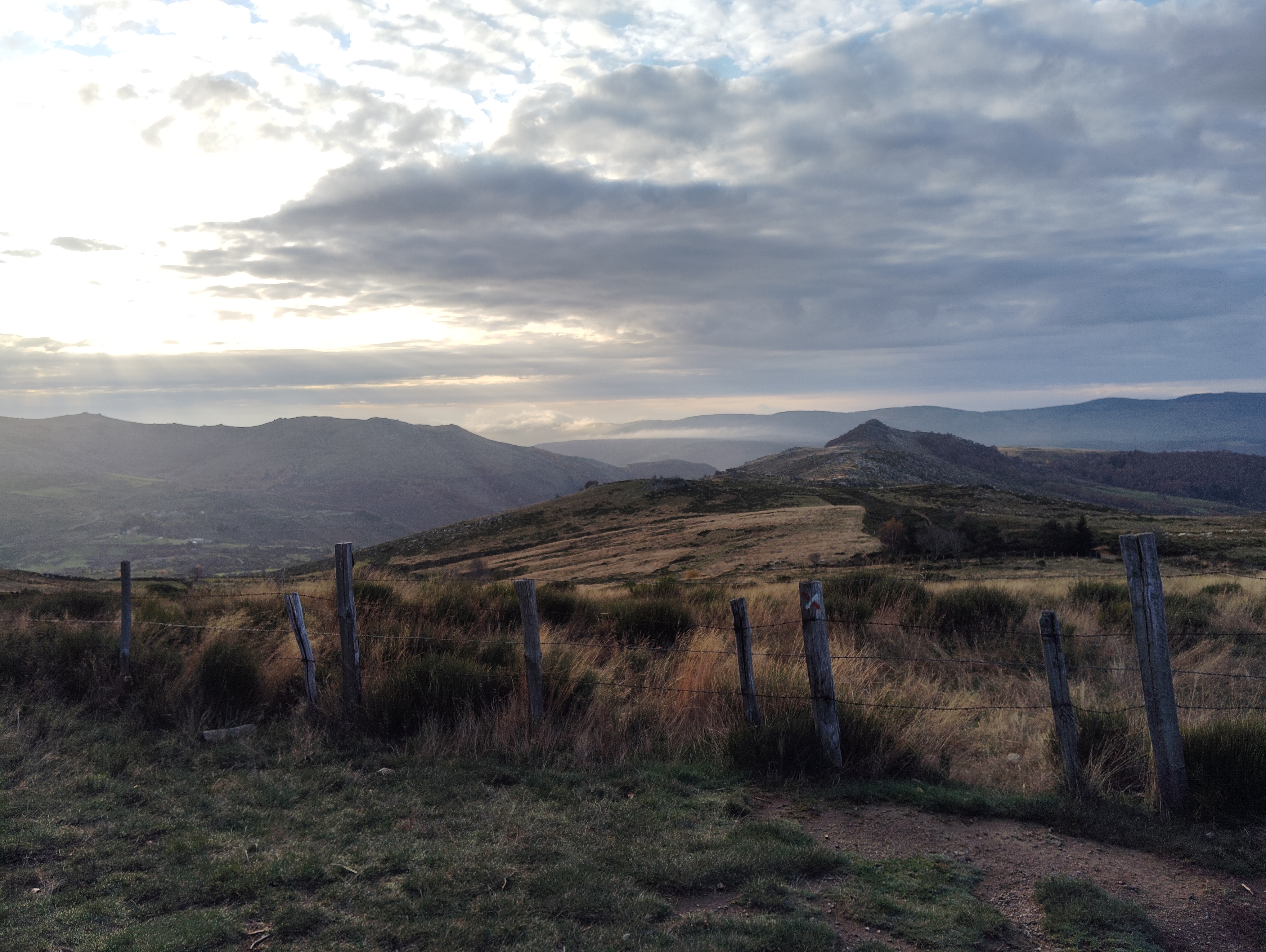
44.44° N · 3.74° E · GR 70, Mont-Lozère
360° Mapping, France
Street-View imagery of trails and natural areas for mapping, documentation and promotion across France.
44.44° N · 3.74° E · GR 70, Mont-Lozère
Pilot project
27 April 2026
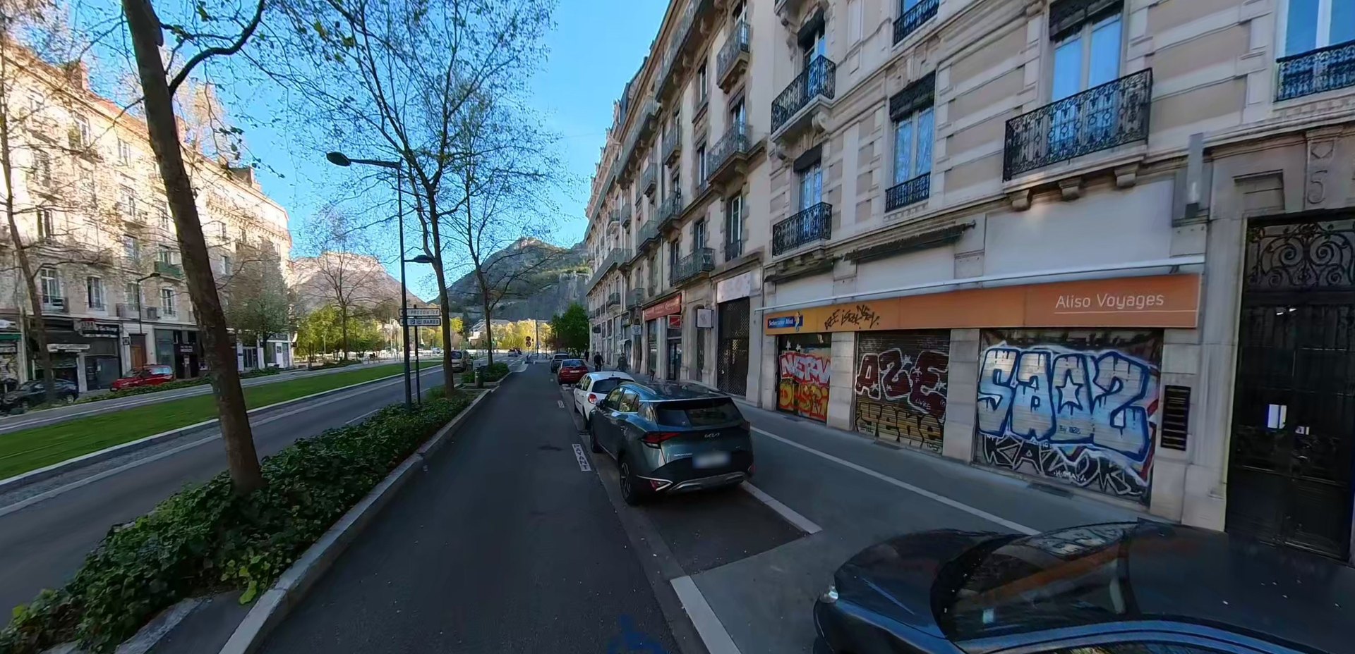
We covered the streets of Grenoble to document and locate urban degradation across an initial pilot area.
Featured project
Explore this iconic trail directly in Google Street View. Navigate the view below.
44.7413° N · 5.4712° E · Vercors High Plateaus
Our process
Set off on the adventure with Rando360, the first of its kind.
Tell us about your project: we discuss your goals and select the routes to cover.
We travel the trail by bike or on foot, equipped with professional 360° cameras synchronised with GPS.
We optimise the 360° images and add metadata to prepare your trail for digital exploration.
Your trail goes live: a hosted platform such as Google Street-View, or a custom viewer.
Distribution
Custom virtual tours built with Pano2VR.
Disclaimer. Rando360 is an independent visual-exploration platform and service. All 360° photos and data are produced by us. No partnership exists with the Fédération Française de la Randonnée Pédestre (FFRandonnée), Mon GR® or any other organisation. Trail names are mentioned solely for identification purposes to locate the places shown. GR® is a trademark registered with the INPI and belongs to the Fédération Française de la Randonnée Pédestre (FFRandonnée). FFRandonnée is not responsible for the content published on Rando360.
Rando360 does not replace FFRandonnée's official navigation materials and does not provide GPS tracks of trails, only the locations of the photos.