For marketers
Map-centred marketing
Be present where your customers explore, validate their bookings and find their way.
Get a quote
For marketers
Be present where your customers explore, validate their bookings and find their way.
Get a quoteVisual proof
We position your brand on Google Maps with durable 360° coverage spanning entire towns, points of interest and complete routes. Become the visual reference from your future visitor's very first search.
End-to-end coverage that turns your routes into immersive experiences: powerful, long-lasting and unique content, even in the most remote areas.
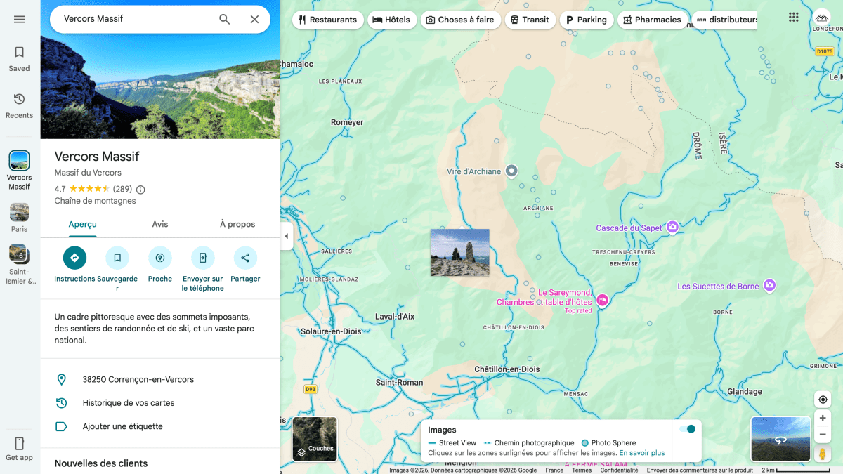
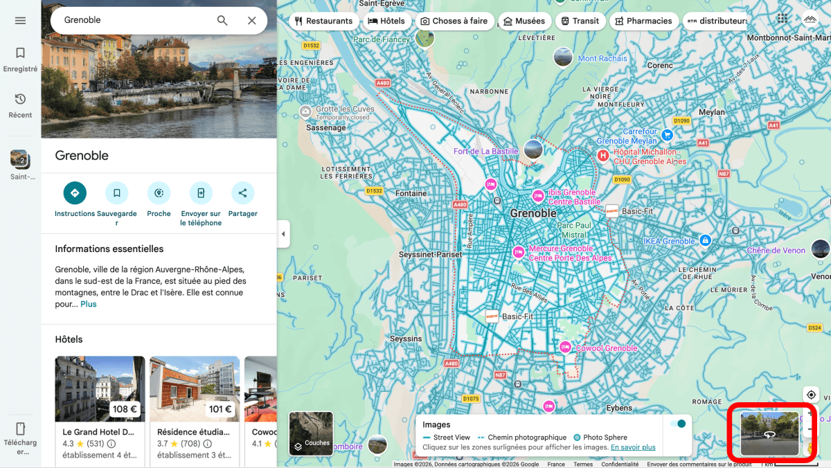
On local pages, 360° photos are displayed at the top of the list, guaranteeing prime visibility. Our advantage: we publish your panoramas where regular photos and videos are now restricted.
Google highlights 360° content across its interfaces. We leverage this prioritisation to place your images where they'll be seen first, on place listings and along routes alike.
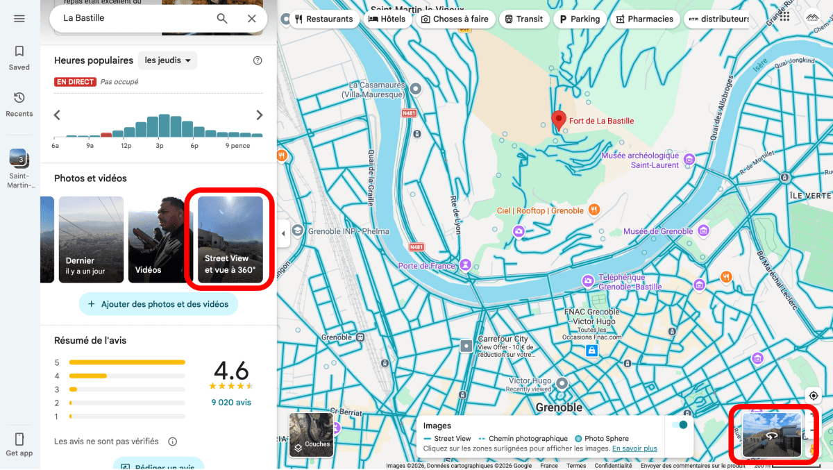
Mobile visual proof
The vast majority of users browse Google Maps through the mobile app. Google gives preferential treatment to 360° content, displaying one as the main thumbnail just above the place name. Our expertise lets us consistently position your images in that strategic spot.
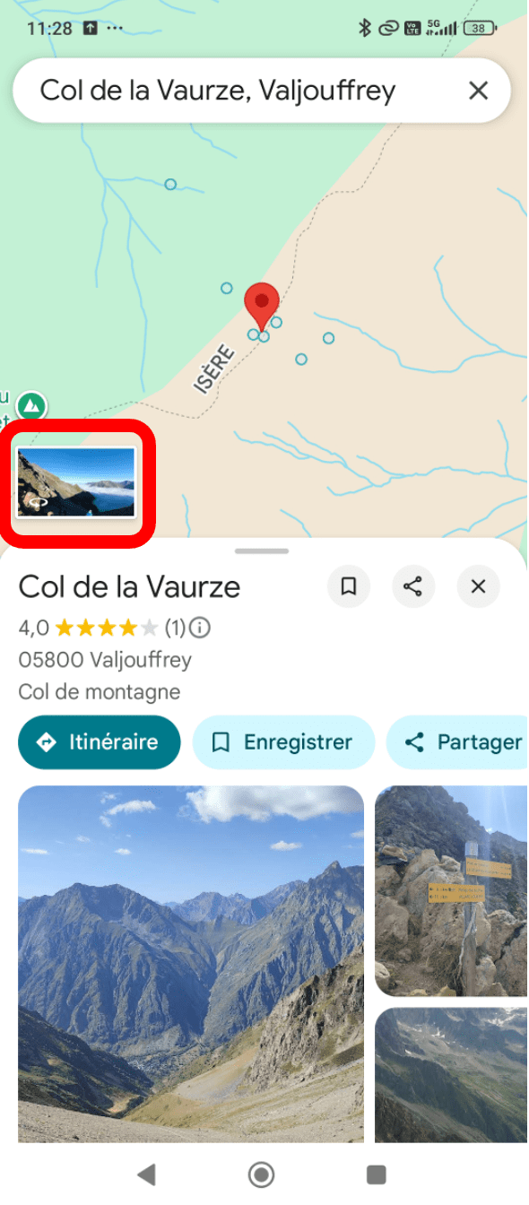
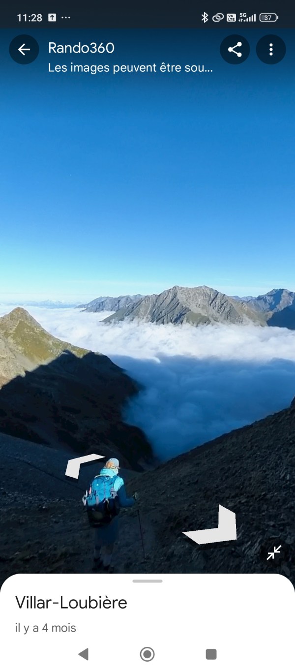
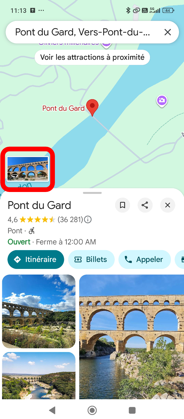
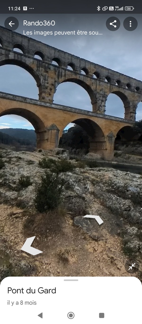
Product placement
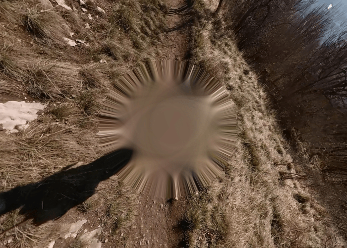
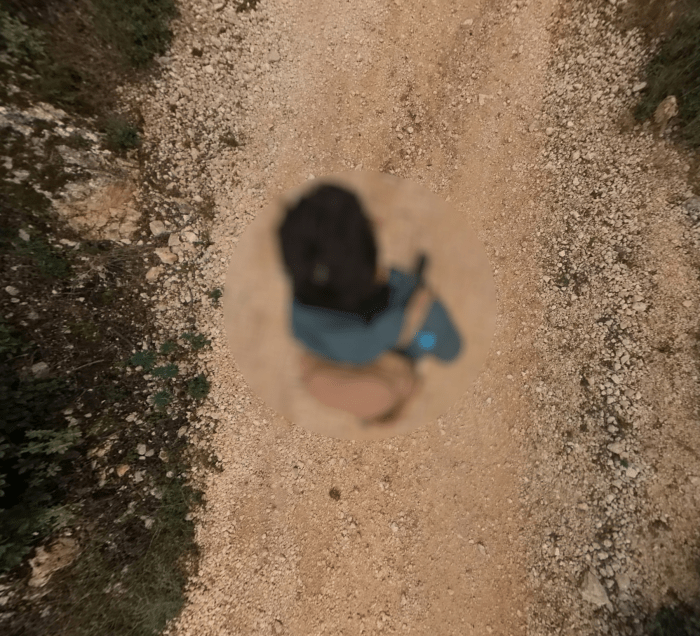
A nadir cap is the small circular area at the bottom of 360° photos. We replace it with a custom visual so your logo appears consistently, staying discreet, elegant and visible wherever the image is shown on Maps and across the web.
It's also an excellent marketing tool, letting many people see and recognise your brand, reinforcing your visibility and professional image.
Case study
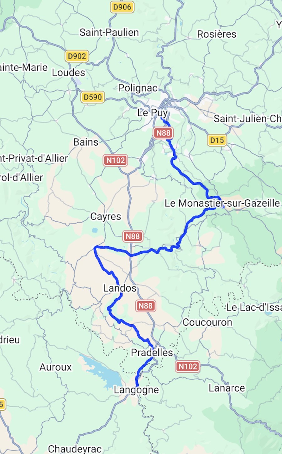
Turning every trail into an immersive experience. On one of France's most iconic and remote trails, Rando360 turned an empty map into an immersive experience to explore, with continuous 360° coverage.
Despite its popularity, the Stevenson Trail, which crosses the Massif Central down to the Cévennes, remains poorly documented in immersive form. Hikers lack visual reference points to anticipate stages, access and the real experience of the trail, with little visibility on accommodation or access logistics.
In a single month, the featured section of the Stevenson Trail was viewed over 10,000 times, off season. Over a year, the full trail has generated more than 100,000 views, mostly on pedestrian sections and areas inaccessible to vehicles, with continuous visibility and no paid advertising.
A 10-day solo trip combining cycling and hiking, camping along the trail. The route mixes forest tracks, hiking paths and vehicle-accessible roads. Every section was captured in Street View for immersive exploration.
Deliverables

Full coverage of your trail from end to end.

Photos of points of interest (campsites, water points, restaurants…).

Modules you can embed directly on your website or blog.

Custom images across towns and points of interest.

Keep all the files for future reuse.