About
Who are we?
Pioneering the landscapes of France: set off on the adventure with Rando360, the first of its kind.
Get a quote
About
Pioneering the landscapes of France: set off on the adventure with Rando360, the first of its kind.
Get a quoteOur mission
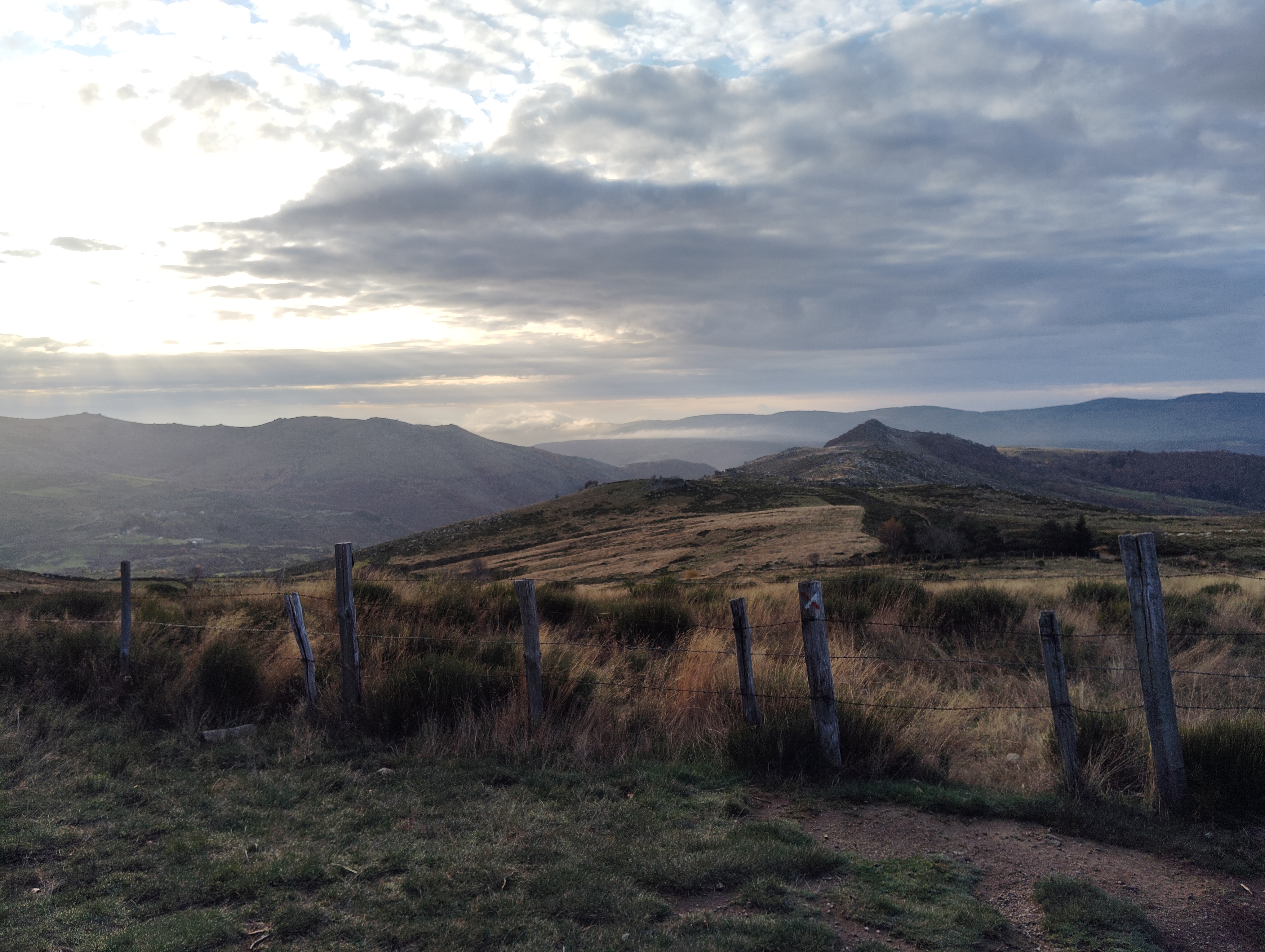
Rando360 specialises in creating detailed, interactive panoramic maps of hiking trails across France. These maps offer high-resolution views of scenic routes and outdoor trails, letting users virtually discover the beauty of French landscapes.
Using advanced mapping technology (specialised cameras and software), Rando360 meticulously captures and presents the essence of each hiking trail. Accessible online from any device, users can seamlessly explore Rando360's maps and easily plan their hiking adventures. We continuously update our trails.
The founder
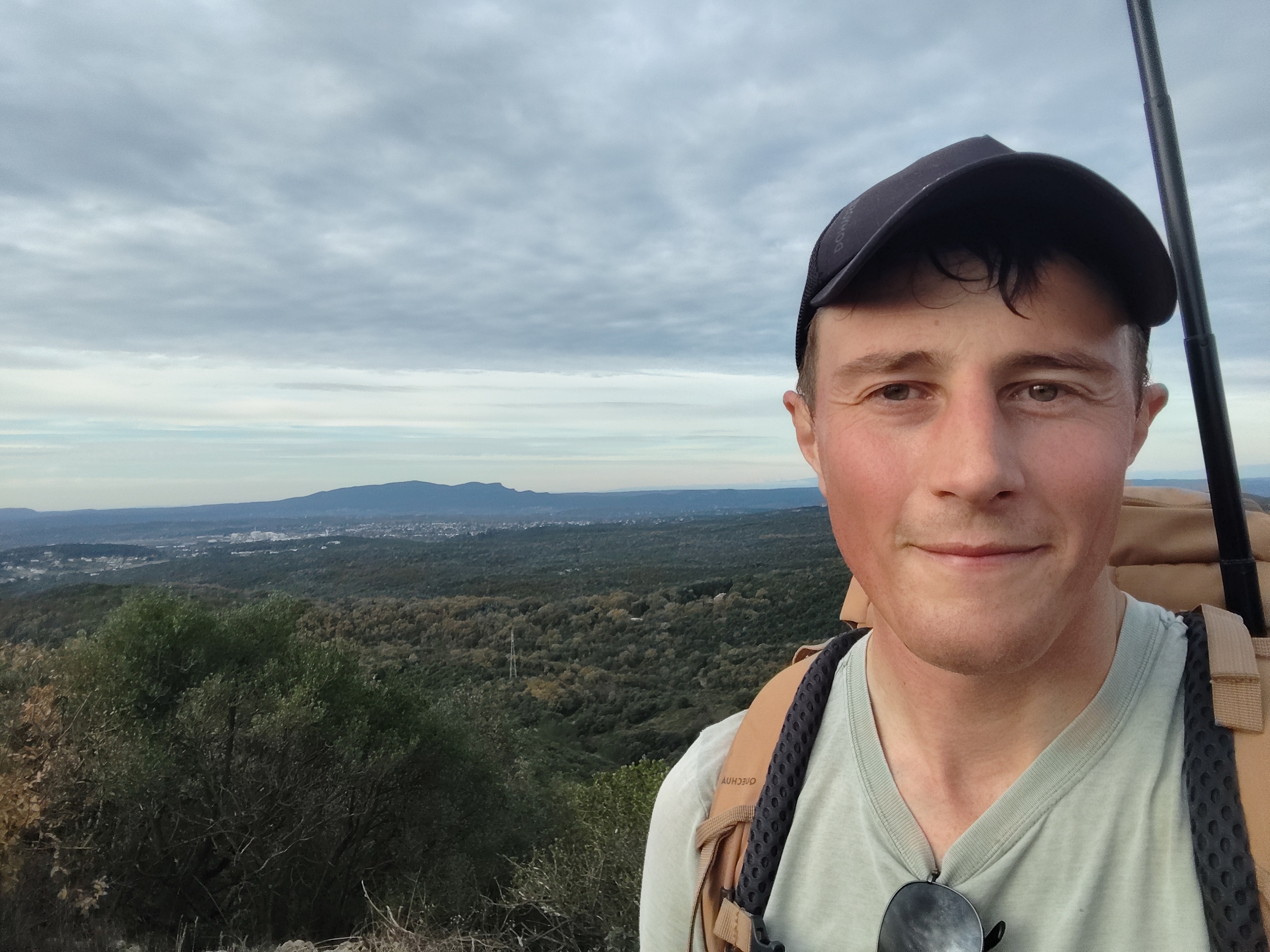
Zach Root, founder of Rando360, was born in Canada and now lives in France. With a strong background in health and exercise science research, Zach brings an analytical approach to his projects, ensuring every trail is documented with precision and rigour. His passion for nature, combined with years of teaching and scientific research, drives his commitment to quality and clarity.
Zach has extensive outdoor experience, including multi-month hiking expeditions. Every trail featured on Rando360 has been personally explored by him, on foot or by bike. He is committed to using immersive technology to share these routes and make nature accessible to everyone.